news Safety & casualtyOperational risk Marine Insight
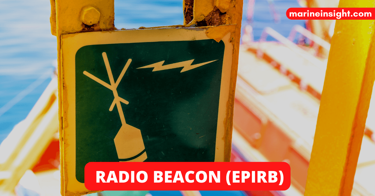
EPIRB- What does it stand for? An Emergency Position-Indicating Radio Beacon (EPIRB) is a device that alerts search and rescue services (SAR) in case of an emergency at sea. It is a tracking equipment that transmits a signal on a specified band to locate a lifeboat, life raft, ship, or people in distress. An EPIRB is sometimes called a GPIRB, which means an EPIRB with a GPS receiver to find your precise location faster. What is EPIRB used for? EPIRB is a distress beacon that, once activated, alerts a global search and rescue network to send help to your location as quickly as possible. EPIRBs are installed on ships after being registered with the national search and rescue forces for that boat. The registration allows confirmation of false alerts and faster rescue operations. An EPIRB is a SECONDARY means of DISTRESS alerting, which means that it comes later in the hierarchy of alerting SAR authorities in case of distress. It is mandatory to carry one EPIRB on every ship and two EPIRBS for all Registered ships (and other types of vessels). When Should an EPIRB be Activated? An EPIRB should only be activated at times of great danger or maritime emergency, such as a ship sinking or medical emergency onboard. Different Types Of EPIRBs COSPAS-SARSAT– EPIRBS under the COSPAS-SARSAT system work on the 406.025 MHz and 121.5 MHz bands and are applicable for all sea areas INMARSAT E– This EPIRB works on a 1.6 GHz band. These are applicable for sea areas A1, A2 and A3. VHF CH 70– This works on the 156.525 MHz band and is applicable for sea area A1 only How Does An EPIRB Work? The device contains two radio transmitters, a 5-watt one and a 0.25-watt one, each operating at 406 MHz, the standard international frequency typically signalling distress, 406MHz. The 5-watt radio transmitter is synchronised with a GOES weather satellite going around the earth in a geosynchronous orbit. The COSPAS-SARSAT is an international satellite-based search and rescue system founded by the U.S., Russia, Canada and France to detect emergency radio beacons. Due to the many advantages of 406 MHz beacons and the disadvantages of the 121.5 MHz beacons, the International Cospas-Sarsat Program stopped the satellite processing of 121.5 MHz by satellites on February 1st, 2009. Encouragements were given by the National Oceanic and Atmospheric Administration/ NOAA and FAA to switch to 406 for obvious reasons. However, aircraft might still use the Emergency Locator Transmitter, and alerts from these devices would not be acted upon unless confirmed by two other independent non-satellite sources or devices. An EPIRB transmits signals to the satellite. The signal consists of an encrypted identification number (all in digital code), which holds information such as the ship’s identification, event date, the nature of distress, emergency contacts and position. A UIN is a Unique Identifier Number programmed into each beacon at the factory. The UIN number consists of a 15-digit series of letters and numbers that make up the unique identity of the beacon. The UIN is on a white label on the exterior of the beacon. The UIN is also referred to as the Hex ID. The Local User Terminal (satellite receiving units or ground stations) calculates the position of the casualty using Doppler Shift (which is the change in frequency or wavelength of a wave (or other periodic events) for an observer moving relative to its source). The LUT passes the digital message to the MRCC (Mission Rescue Co-Ordinatio
What is An Emergency Position Indicating Radio Beacon (EPIRB)?
Marine Insight
Read full article at Marine Insight →
Opens Marine Insight in a new tab