news Geopolitical riskOperational risk Splash247
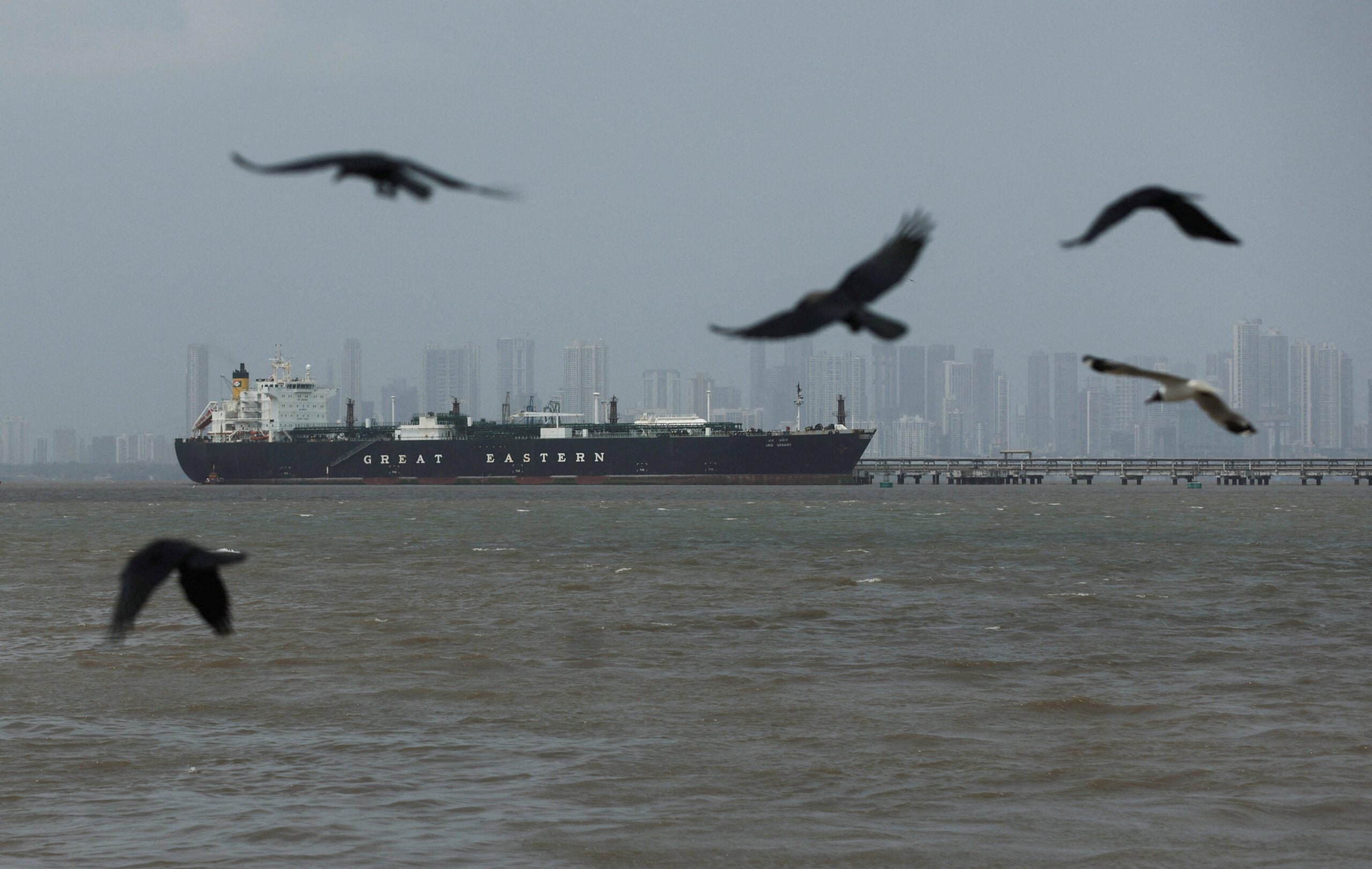
Simon Flack, head of business development, Earth observation and innovation at Space Norway, discusses the growing number of dark ships in the North Atlantic, America’s Greenland threats, and why Europe must harness synthetic aperture radar to keep track of these growing concerns. In early 2026, a rust-streaked Russian-flagged tanker, part of Moscow’s dark fleet, was boarded by US forces in international waters after weeks of pursuit. Moscow called it piracy and warned that sanctions enforcement is edging toward naval confrontation. Almost simultaneously, Washington insisted the United States “needs Greenland for reasons of national security” and refused to rule out force. European leaders replied that any military move against Greenland would mean the end of the transatlantic partnership. These flashpoints highlight a new reality: the North Atlantic and Arctic are now contested strategic spaces, where sanctions, great power rivalry and alliance uncertainty intersect. With a possible future US administration reshaping NATO and US-EU relations, Europe must strengthen strategic autonomy and independent capabilities at sea. Sanctions on Russia, Iran, Venezuela and others have driven a sharp rise in dark vessels – both military assets and shadow shipping fleets. They routinely switch off their Automatic Identification System (AIS), falsify identity or position and/or conduct covert ship-to-ship transfers in remote waters. AIS was built for safety and transparency: large vessels broadcasting identity, position and intent. For normal trade, it still works. But under sanctions pressure and great power competition, AIS has become a contested information space. Europe now has more maritime data than ever, but less confidence in it where it matters most, in the North Atlantic, the High North and around critical infrastructure. AIS is necessary, but it is no longer sufficient on its own. Relying solely on AIS and coastal sensors leaves Europe exposed, because the Arctic, the GIUK Gap and much of the North Atlantic lie beyond dense coastal radar coverage, and weather, darkness and polar conditions routinely degrade traditional sensors. Non-cooperative actors such as shadow fleets, military platforms and illicit networks can simply go dark or spoof their signals; AIS is voluntary, and adversaries are under no obligation to use it honestly. This creates a further problem of strategic dependence: in an increasingly uncertain transatlantic landscape, Europe cannot base its maritime awareness entirely on allied systems and goodwill. AIS will remain essential, but it must be treated as a hypothesis rather than ground truth. Political, military and administrative decision makers therefore need a noncooperative, day-and-night, all-weather alternative to validate or contradict AIS – namely, space-based synthetic aperture radar (SAR). Satellite-based SAR uses microwaves to see through clouds, darkness and polar night, providing metre-class imaging and precise geolocation of ships regardless of their AIS status. For European security, this capability is decisive because it allows authorities to detect dark vessels, verify or disprove AIS information, and reveal risky or illicit patterns of behaviour. If a tanker goes silent while crossing the GIUK Gap or approaching North Atlantic chokepoints, SAR still reveals its presence, size and heading: shadow fleets cannot hide from physics. When AIS indicates that a ship is in one location, but SAR finds no hull there
How to secure the Arctic frontier
Splash247
Read full article at Splash247 →
Opens Splash247 in a new tab